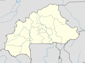
Sabra, Burkina Faso
Appearance
Sabra, Burkina Faso | |
|---|---|
| Coordinates: 12°44′28″N 0°20′01″E / 12.7411°N 0.3336°E | |
| Country | |
| Region | Est Region |
| Province | Gnagna Province |
| Department | Bilanga Department |
| Population (2005 est.) | |
| • Total | 2,002 |
Sabra, Burkina Faso is a town in the Bilanga Department of Gnagna Province in eastern Burkina Faso. The town has a population of 2,002.[1]
References
[edit]- ^ Burkinabé government inforoute communale Archived 2010-03-24 at the Wayback Machine


