Axtbach
You can help expand this article with text translated from the corresponding article in German. (October 2011) Click [show] for important translation instructions.
|
| Axtbach | |
|---|---|
 | |
| Location | |
| Country | Germany |
| State | North Rhine-Westphalia |
| Physical characteristics | |
| Mouth | |
• location | Ems |
• coordinates | 51°57′15″N 8°02′08″E / 51.9542°N 8.0356°E |
| Length | 34.2 km (21.3 mi) [1] |
| Basin size | 240 km2 (93 sq mi) [1] |
| Basin features | |
| Progression | Ems→ North Sea |
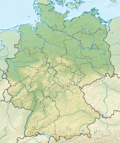
The Axtbach is a river of North Rhine-Westphalia, Germany. It flows into the Ems near Warendorf. The Axtbach is approximately 19 miles long from headwater to mouth. The headwaters of Axtbach come from an unnamed waterway in the city of Oelde combining with Mülenbach.
See also[edit]
References[edit]

