Subprefecture of Itaquera
Appearance
Subprefecture of Itaquera | |
|---|---|
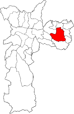
 Location of the Subprefecture of Itaquera in São Paulo | |
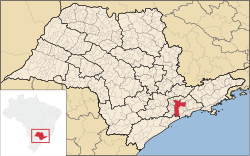
 Location of municipality of São Paulo within the State of São Paulo | |
| Country | |
| Region | Southeast |
| State | |
| Municipality | |
| Administrative Zone | East 1 |
| Districts | Itaquera, Parque do Carmo, José Bonifácio, Cidade Líder |
| Government | |
| • Type | Subprefecture |
| • Subprefect | Paulo César Máximo |
| Area | |
| • Total | 55.32 km2 (21.36 sq mi) |
| Population (2008) | |
| • Total | 525,337 |
| Website | Subprefeitura Itaquera (Portuguese) |
The Subprefecture of Itaquera is one of 32 subprefectures of the city of São Paulo, Brazil. It comprises four districts: Itaquera, Parque do Carmo, José Bonifácio, and Cidade Líder.[1] The name in Tupi means "hard stone" or "insensitive stone".[2]
This subprefecture hosts the Arena Corinthians stadium, in which took place the inauguration of the FIFA World Cup in 2014.
References
[edit]23°32′00″S 46°27′01″W / 23.53333°S 46.45028°W
