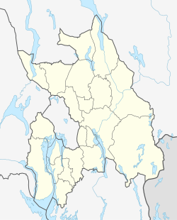
Aulifeltet
Appearance
Aulifeltet | |
|---|---|
Village | |
 | |
Location in Akershus | |
| Coordinates: 60°1′47″N 11°21′27″E / 60.02972°N 11.35750°E | |
| Country | Norway |
| Region | Østlandet |
| County | Akershus |
| Municipality | Nes |
| Time zone | UTC+01:00 (CET) |
| • Summer (DST) | UTC+02:00 (CEST) |
Aulifeltet is a village in the municipality of Nes, Akershus, Norway. Its population is 2,683, of which 512 people live within the border of the neighboring municipality Sørum.[1]
References
[edit]- ^ Statistics Norway (2007). "Urban settlements. Population and area, by municipality. 1 January 2007". Archived from the original on 2011-07-26.

