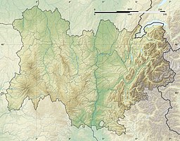
Lac de Servière
Appearance
| Lac de Servières | |
|---|---|
 | |
| Location | Orcival, Puy-de-Dôme |
| Coordinates | 45°39′N 2°52′E / 45.650°N 2.867°E |
| Type | maar |
| Basin countries | France |
| Surface area | 0.15 km2 (0.058 sq mi) |
| Max. depth | 26 m (85 ft) |
| Surface elevation | 1,202 m (3,944 ft) |
Lac de Servières is a lake in Puy-de-Dôme, France. At an elevation of 1202 m, its surface area is 0.15 km2.

