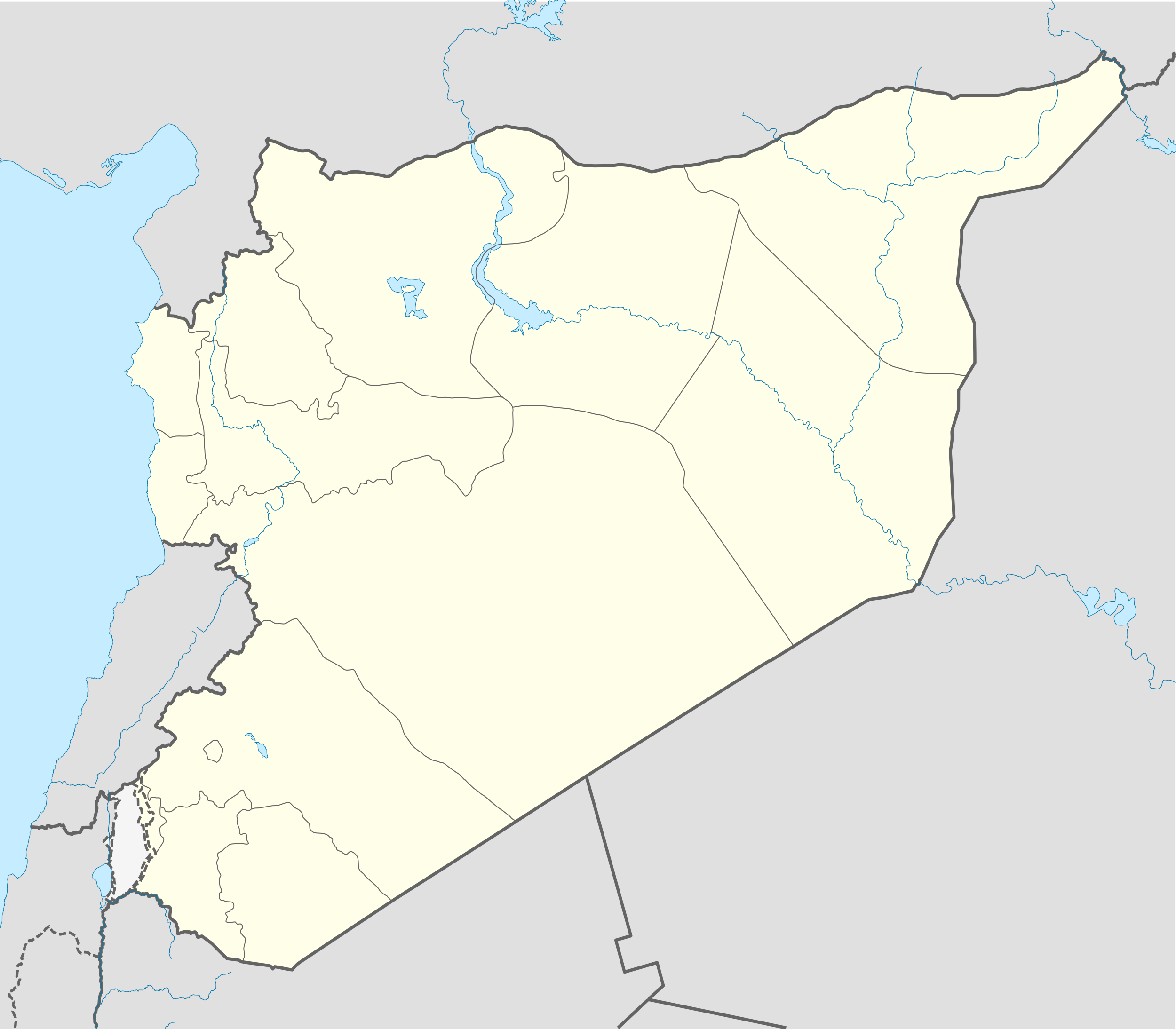
User:Lothar von Richthofen/Template:Syrian civil war detailed map (South)
Appearance
Hold cursor over location to display name; click to go to location row in the "table of cities and towns" (if available).
 Government-held ;
  Rebel-held ;
  Contested ;
  Kurd-held ;
  Military base ;
  Airport/Air base (jet) ;
  Airport/Air base (helicopter)
  Major port or naval base;
  Border Post ;
  Dam
Dam
2 nested circles: inner controls, outer besieges // 3 nested circles: mixed control with stable situation // Small icons within large circle: situation in individual neighbourhoods/districts
2 nested circles: inner controls, outer besieges // 3 nested circles: mixed control with stable situation // Small icons within large circle: situation in individual neighbourhoods/districts

