Iouik
Appearance
Iouik | |
|---|---|
| Coordinates: 19°50′58″N 16°19′51″W / 19.84944°N 16.33083°W | |
| Country | |
| Region | Dakhlet Nouadhibou |
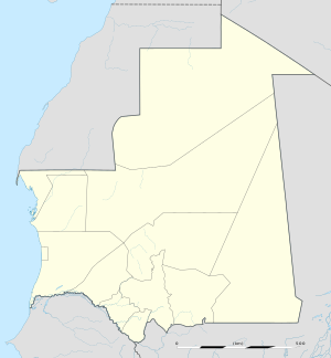
Iouik, also spelled Iwik, is a coastal town in western Mauritania. Located in the Banc d'Arguin National Park within the Dakhlet Nouadhibou region, it sits on a small peninsula.[1]
Nearby towns and villages include Uad Guenifa (73.4 nm), Cansado (72.0 nm), Tanoudert (21.5 nm), Akjoujt (108.4 nm), El Mamghar (32.4 nm), Regbet Thila (28.6 nm) and Tikattane (50.1 nm) .
Iouik is very close to the island of Tidra lying in the southwest some 3 km distant, further west is Niroumi and around 10 km north are the Kiaone islands.
References
[edit]- ^ McGinley, Mark. "Banc d'Arguin National Park, Mauritania". The Encyclopedia of Earth. Retrieved 28 April 2016.
External links
[edit]

