
File:Austria-Hungary map.svg

Size of this PNG preview of this SVG file: 776 × 600 pixels. Other resolutions: 311 × 240 pixels | 621 × 480 pixels | 994 × 768 pixels | 1,280 × 989 pixels | 2,560 × 1,978 pixels | 783 × 605 pixels.
Original file (SVG file, nominally 783 × 605 pixels, file size: 331 KB)
| This is a file from the Wikimedia Commons. Information from its description page there is shown below. Commons is a freely licensed media file repository. You can help. |

Summary
| Description |
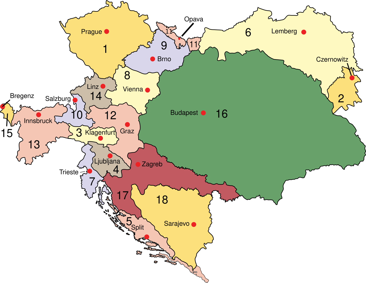
English: Austria
Deutsch: Österreich 1910
Esperanto: Aŭstrio 1910
Magyar: Ausztria
Latina: Austria:
Македонски: Австрија
Polski: Austro–Węgry
Svenska: Österrike-Ungern
Français : Autriche-Hongrie
Čeština: Rakousko-Uhersko
|
| Date | |
| Source | Own work (at English wikipedia) |
| Author | IMeowbot |
| Other versions |
[]
Derivative works of this file:
|
| SVG development |


Licensing
| |
This work has been released into the public domain by its author, IMeowbot, at the English Wikipedia project. This applies worldwide. In case this is not legally possible: |
File history
Click on a date/time to view the file as it appeared at that time.
| Date/Time | Thumbnail | Dimensions | User | Comment | |
|---|---|---|---|---|---|
| 09:46, 24 July 2009 |  | 783 × 605 (319 KB) | NordNordWest | Reverted to version as of 05:20, 30 March 2007 | |
| 09:36, 24 July 2009 |  | 776 × 600 (2 KB) | Zsoni | Korrektur. | |
| 05:20, 30 March 2007 |  | 783 × 605 (319 KB) | W!B: | syntax cleanup: groups, named ids, sorted, .. | |
| 23:01, 28 June 2006 |  | 783 × 605 (238 KB) | Neoneo13 | Taken from english Wikipedia. Created by user IMeowbot {{PD-self}} |
File usage
The following pages on the English Wikipedia use this file (pages on other projects are not listed):
- Bay of Kotor
- Carniola
- Cisleithania
- History of Styria
- History of Transylvania
- Hungary
- Kingdom of Croatia-Slavonia
- Lands of the Crown of Saint Stephen
- List of World War I flying aces from Austria-Hungary
- List of irredentist claims or disputes
- User:Falcaorib
- Wikipedia:Reference desk/Archives/Humanities/2010 November 19
- Wikipedia:WikiProject Former countries/Austria-Hungary task force
Global file usage
The following other wikis use this file:
- Usage on ar.wikipedia.org
- Usage on azb.wikipedia.org
- Usage on be-tarask.wikipedia.org
- Usage on be.wikipedia.org
- Usage on bs.wikipedia.org
- Usage on bxr.wikipedia.org
- Usage on ca.wikipedia.org
- Usage on cs.wikipedia.org
- Usage on da.wikipedia.org
- Usage on de.wikipedia.org
- Usage on de.wikibooks.org
- Usage on el.wikipedia.org
- Usage on en.wikibooks.org
- Usage on en.wikivoyage.org
- Usage on en.wiktionary.org
- Usage on eo.wikipedia.org
- Usage on et.wikipedia.org
- Usage on fiu-vro.wikipedia.org
- Usage on fi.wikipedia.org
- Usage on gl.wikipedia.org
- Usage on he.wikipedia.org
View more global usage of this file.