
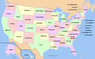
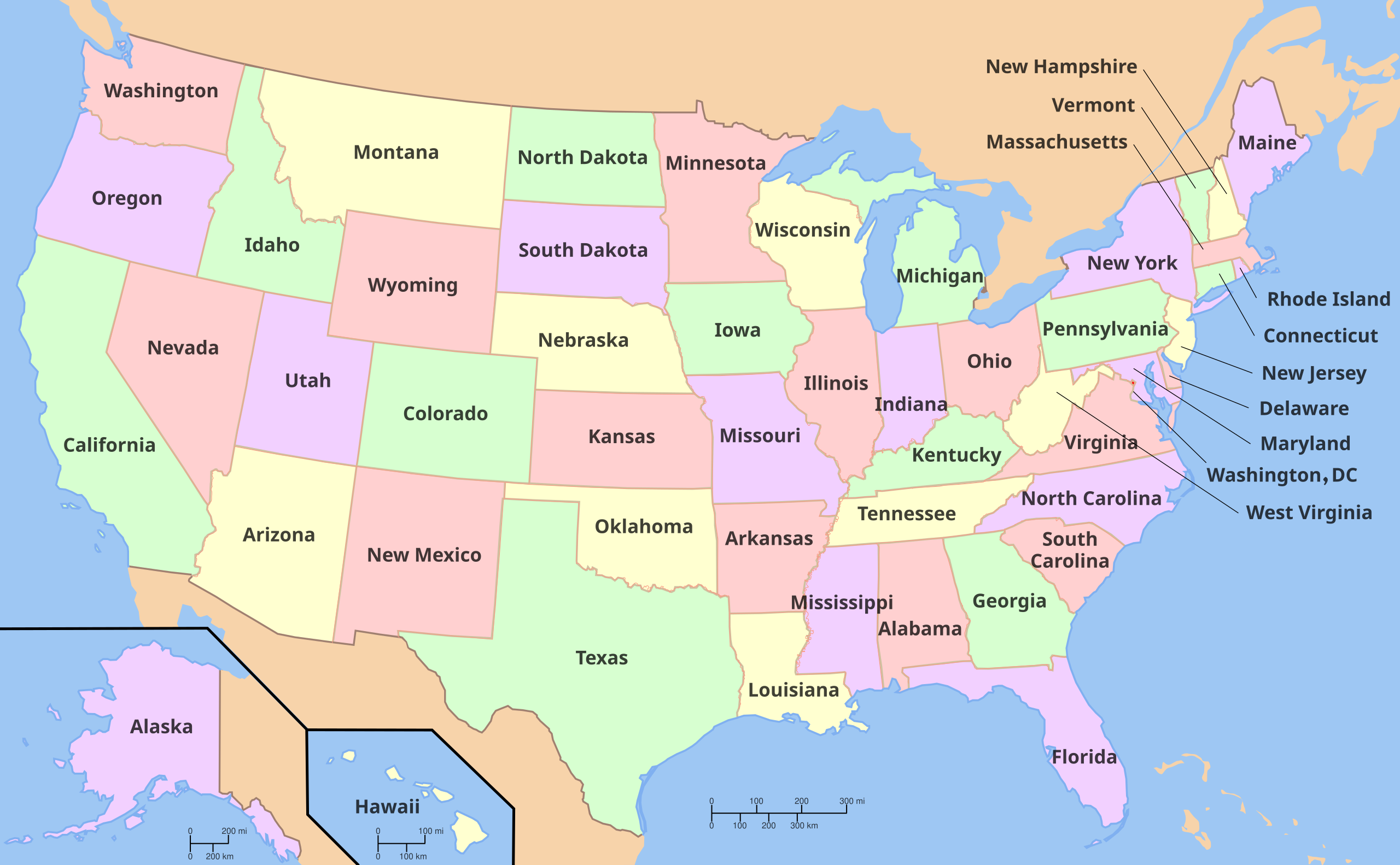
File:Map of USA with state names.svg

Size of this PNG preview of this SVG file: 800 × 495 pixels. Other resolutions: 320 × 198 pixels | 640 × 396 pixels | 1,024 × 633 pixels | 1,280 × 791 pixels | 2,560 × 1,583 pixels | 959 × 593 pixels.
Original file (SVG file, nominally 959 × 593 pixels, file size: 984 KB)
| This is a file from the Wikimedia Commons. Information from its description page there is shown below. Commons is a freely licensed media file repository. You can help. |
Summary


.svg)


Versions
Non-modifiable text

Clickable

Licensing

|
Permission is granted to copy, distribute and/or modify this document under the terms of the GNU Free Documentation License, Version 1.2 or any later version published by the Free Software Foundation; with no Invariant Sections, no Front-Cover Texts, and no Back-Cover Texts. A copy of the license is included in the section entitled GNU Free Documentation License. |
| This file is licensed under the Creative Commons Attribution-Share Alike 3.0 Unported license. | ||
| ||
| This licensing tag was added to this file as part of the GFDL licensing update. |
This file is licensed under the Creative Commons Attribution-Share Alike 3.0 Unported, 2.5 Generic, 2.0 Generic and 1.0 Generic license.
- You are free:
- to share – to copy, distribute and transmit the work
- to remix – to adapt the work
- Under the following conditions:
- attribution – You must give appropriate credit, provide a link to the license, and indicate if changes were made. You may do so in any reasonable manner, but not in any way that suggests the licensor endorses you or your use.
- share alike – If you remix, transform, or build upon the material, you must distribute your contributions under the same or compatible license as the original.
File history
Click on a date/time to view the file as it appeared at that time.
| Date/Time | Thumbnail | Dimensions | User | Comment | |
|---|---|---|---|---|---|
| current | 18:32, 3 May 2024 | | 959 × 593 (984 KB) | JnpoJuwan | Fixed tok translations // Editing SVG source code using c:User:Rillke/SVGedit.js |
| 20:30, 2 May 2024 |  | 959 × 593 (984 KB) | JnpoJuwan | Updated tok // Editing SVG source code using c:User:Rillke/SVGedit.js | |
| 20:14, 2 May 2024 |  | 959 × 593 (985 KB) | JnpoJuwan | File uploaded using svgtranslate tool (https://svgtranslate.toolforge.org/). Added translation for tokipona. | |
| 04:38, 14 May 2022 |  | 959 × 593 (975 KB) | عُثمان | updated ur (Urdu) and pnb (Western Punjabi) to use preferred Nastaliq typefaces (used existing Bengali typeface spec as reference point) | |
| 19:14, 24 March 2022 |  | 959 × 593 (967 KB) | Koavf | ht: Enndyana // Editing SVG source code using c:User:Rillke/SVGedit.js | |
| 19:05, 24 March 2022 |  | 959 × 593 (967 KB) | Koavf | File uploaded using svgtranslate tool (https://svgtranslate.toolforge.org/). Added translation for ht. | |
| 17:52, 22 April 2021 |  | 959 × 593 (966 KB) | Seipinne | File uploaded using svgtranslate tool (https://svgtranslate.toolforge.org/). Added translation for smn. | |
| 12:39, 19 November 2020 |  | 959 × 593 (622 KB) | Vikarna | fix // Editing SVG source code using c:User:Rillke/SVGedit.js | |
| 02:12, 19 November 2020 |  | 959 × 593 (622 KB) | Vikarna | fix // Editing SVG source code using c:User:Rillke/SVGedit.js | |
| 11:42, 7 November 2020 |  | 959 × 593 (622 KB) | Getoar TX | minor fix in Albanian translation | |
| 21:34, 6 November 2020 |  | 959 × 593 (622 KB) | Getoar TX | Minor fix in Albanian translation | |
| 21:18, 6 November 2020 |  | 959 × 593 (622 KB) | Getoar TX | Updated Albanian translation | |
| 06:31, 18 October 2020 |  | 959 × 593 (622 KB) | Getsnoopy | Adjusted position of the Hawaii scale for readability, fixed the fonts for the scales, and cleaned up some code for brevity/DRYness. | |
| 02:39, 18 October 2020 |  | 959 × 593 (649 KB) | Getsnoopy | Fixed the names in Hindi. | |
| 18:33, 12 February 2020 |  | 959 × 593 (649 KB) | XanonymusX | usual German names | |
| 00:38, 26 October 2016 |  | 959 × 593 (649 KB) | Glrx | Try again to fix Kannada versions of Montana, Colorado, and South Dakota | |
| 17:36, 22 October 2016 |  | 959 × 593 (649 KB) | Glrx | try google translate on failing Kannada Montana, South Dakota, ... | |
| 17:20, 22 October 2016 |  | 959 × 593 (649 KB) | Glrx | remove spurious text inside of switch; fix style attribute that did not quote font and left spurious text | |
| 19:26, 17 March 2016 |  | 959 × 593 (649 KB) | Kopiersperre | more german translation | |
| 02:50, 26 February 2016 |  | 959 × 593 (664 KB) | Delphi234 | Indiana | |
| 01:23, 26 February 2016 |  | 959 × 593 (664 KB) | Delphi234 | Aramaic Louisiana, Mississippi, Tennessee, Texas | |
| 01:13, 26 February 2016 |  | 959 × 593 (664 KB) | Delphi234 | Arkansas, California | |
| 22:08, 25 February 2016 |  | 959 × 593 (664 KB) | Delphi234 | add translations | |
| 05:54, 31 August 2011 |  | 959 × 593 (263 KB) | MissMJ | More bug fixing (really hope it works this time -_-'). | |
| 05:52, 31 August 2011 |  | 959 × 593 (263 KB) | MissMJ | Bug fix. | |
| 05:49, 31 August 2011 |  | 959 × 593 (264 KB) | MissMJ | Flipping font order so Nimbus is first. | |
| 05:47, 31 August 2011 |  | 959 × 593 (263 KB) | MissMJ | Putting 'Arial Narrow' ahead of 'Nimbus Sans L' in file's font options per request at Graphic Lab. | |
| 03:12, 10 March 2011 |  | 959 × 593 (269 KB) | Jovianeye | retrying to bring DC within the MediaWiki renderer | |
| 03:07, 10 March 2011 |  | 959 × 593 (269 KB) | Jovianeye | equalizing font size of Washington, DC per request at en:WP:GL/I | |
| 07:17, 22 February 2011 |  | 959 × 593 (268 KB) | Citypeek | Made the font bold after a request on the Illustration Workshop page. | |
| 00:13, 9 June 2010 |  | 959 × 593 (334 KB) | Ras67 | frame removed | |
| 13:23, 11 June 2007 |  | 959 × 593 (332 KB) | Andrew c | ||
| 06:15, 17 April 2007 |  | 959 × 593 (329 KB) | Andrew c | ||
| 18:36, 28 December 2005 |  | 959 × 593 (310 KB) | Dbenbenn | fix error in <?xml declaration, and clean SVG code slightly | |
| 22:14, 9 October 2005 |  | 959 × 593 (331 KB) | Dbenbenn | fixed by User:Ed g2s (removed <image /> tag), and me (removed undisplayed shapes: rivers, lakes, capitals, highways. Cropped. Fixed typos.) | |
| 22:12, 9 October 2005 |  | 990 × 855 (956 KB) | Dbenbenn | original version from w:Image:Map of USA with state names.svg by w:User:Wapcaplet, cc-by-2.0 |
File usage
The following pages on the English Wikipedia use this file (pages on other projects are not listed):
- Diagram of the Federal Government and American Union
- Federation
- List of U.S. National Historic Landmarks by state
- List of United States hurricanes
- List of countries by federal system
- Outline of the United States
- Talk:Four color theorem/Archive 4
- Talk:Legality of cannabis by U.S. jurisdiction
- Talk:List of U.S. states and their state flower, tree, and bird/Archive
- User:Ervinn
- User:Hubble-3/sandbox 02
- User:Jason Palpatine
- User:Jonny-mt/Gallery of current first-level administrative country subdivisions maps
- User:Maile66
- User:No1lakersfan/sandbox
- User:RHM22/Sandbox
- User:Radioactive afikomen/Userboxes/States
- User:Rocketmaniac/Sandbox12
- User:Rocketmaniac/Sandbox18
- User:Rocketmaniac/States
- User talk:Kirvett
- Wikipedia:Featured picture candidates/November-2006
- Wikipedia:Featured picture candidates/SVG Map of United States
- Wikipedia:Graphics Lab/Illustration workshop/Archive/Aug 2013
- Wikipedia:Graphics Lab/Illustration workshop/Archive/Mar 2011
- Wikipedia:Graphics Lab/Illustration workshop/Archive/Sep 2011
- Wikipedia:Graphics Lab/Images to improve/Archive/Mar 2008
- Wikipedia:Graphics Lab/Map workshop/Archive/Mar 2011
- Wikipedia:Graphics Lab/Map workshop/Archive/Sep 2011
- Wikipedia talk:WikiProject Maps/Archive 1
- File:USA 9 Divisions.svg
- Template:Clickable NHL state map
- Template:United States hurricanes map
- Portal:National Register of Historic Places
Global file usage
The following other wikis use this file:
- Usage on af.wikipedia.org
- Usage on af.wiktionary.org
- Usage on als.wikipedia.org
- Usage on ang.wikipedia.org
- Usage on an.wikipedia.org
- Usage on arc.wikipedia.org
- Usage on ar.wikipedia.org
- Usage on ast.wikipedia.org
- Usage on az.wikipedia.org
- Usage on ban.wikipedia.org
- Usage on be.wikipedia.org
- Usage on bi.wikipedia.org
- Usage on br.wikipedia.org
- Usage on br.wikiquote.org
- Usage on bs.wikipedia.org
- Usage on bs.wikinews.org
- Usage on ceb.wikipedia.org
- Usage on ckb.wikipedia.org
- Usage on co.wikipedia.org
- Usage on cs.wikipedia.org
- Usage on cu.wikipedia.org
- Usage on cv.wikipedia.org
- Usage on cy.wikipedia.org
- Usage on da.wikipedia.org
- Usage on de.wikipedia.org
View more global usage of this file.