Łęczna Lake District Landscape Park
Appearance
| Łęczna Lake District Landscape Park | |
|---|---|
| Park Krajobrazowy Pojezierze Łęczyńskie | |
IUCN category V (protected landscape/seascape) | |
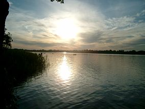
 Lake Białe in the Łęczna-Włodawa Lakeland (Pojezierze Łęczyńsko-Włodawskie) | |
 | |
| Location | Lublin Voivodeship |
| Area | 118.16 km² |
| Established | 1990 |
Łęczna Lake District Landscape Park or Łęczna Lakeland Scenic Park (Template:Lang-pl) is a protected area (a Landscape Park) in eastern Poland, established in 1990, covering an area of 118.16 square kilometres (45.62 sq mi) in the geographic region called the Łęczna-Włodawa Lakeland (Pojezierze Łęczyńsko-Włodawskie) or the Łęczna-Włodawa Plain (Równina Łęczyńsko-Włodawska).
The Park lies within Lublin Voivodeship: in Lubartów County (Gmina Ostrów Lubelski, Gmina Uścimów) and Łęczna County (Gmina Ludwin, Gmina Puchaczów).[1]
The best known recreational area within the Łęczna Lakeland surrounds the White lake (Jezioro Białe Włodawskie), with the resort town called Okuninka.
