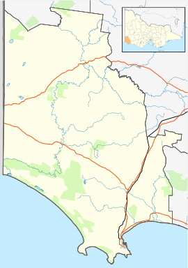
Brimboal
Appearance
| Brimboal Victoria | |
|---|---|
| Coordinates | 37°23′S 141°24′E / 37.383°S 141.400°E |
| Population | 4 (2016 census)[1] |
| Postcode(s) | 3312 [2] |
| LGA(s) | Shire of Glenelg |
| State electorate(s) | South-West Coast |
| Federal division(s) | Wannon |
Brimboal is a small inland town near the Dergholm State Park.
Reference List
- ^ Australian Bureau of Statistics (27 June 2017). "Brimboal (State Suburb)". 2016 Census QuickStats. Retrieved 11 January 2021.
- ^ https://auspost.com.au/postcode/3312


