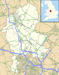
Stone Meadows
| Stone Meadows | |
|---|---|
| Location | Stone, Staffordshire grid reference SJ 901 336 |
| Coordinates | 52°53′59″N 2°8′55″W / 52.89972°N 2.14861°W |
| Designation | Local nature reserve |
| Website | www |
Stone Meadows is a local nature reserve adjacent to Stone, in Staffordshire, England. There are three separate meadows by the River Trent.[1] Goodall Meadow and Southern Meadow are reserves of Stafford Borough Council; Crown Meadow is a reserve of Stone Town Council.[2]
Description
Goodall Meadow
Also known as the Northern Meadow, at grid reference SJ 896 339. It is a mostly low-lying area, bisected by a railway line.[1]
Crown Meadow
The central meadow, at grid reference SJ 901 336. It is intended that, by sowing of wildflower seeds in recent years, the flora of a traditional flood plain meadow will be achieved.[1]
Southern Meadow
At grid reference SJ 909 326. It is a low-lying area on the flood plain of the River Trent. It is mostly grassland. In the south-west there is wet woodland, mostly willow and alder, by two small ponds, with wetland plants including common bistort amd marsh marigold. Around the wood is wet grassland, with plants inclunding cuckooflower and meadowsweet.[1]
References
- ^ a b c d "Stone Meadows" Stafford Borough Council. Retrieved 22 January 2021.
- ^ "Sites of Nature Conservation in Stafford Borough" Stafford Borough Council. Retrieved 23 January 2021.

