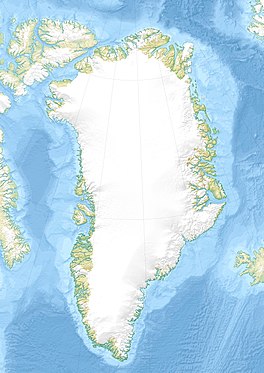
Thomas Glacier (Greenland)
Appearance
| Thomas Glacier | |
|---|---|
| Thomas Gletscher | |
| Type | Valley glacier |
| Location | Greenland |
| Coordinates | 83°21′N 37°35′W / 83.350°N 37.583°W |
| Width | 3 km (1.9 mi) |
| Terminus | Hunt Fjord Lincoln Sea |
Thomas Glacier (Template:Lang-da), is a glacier in northern Greenland.[1] Administratively it belongs to the Northeast Greenland National Park.
The glacier was named by Robert Peary after E. B. Thomas, one of the founding members of the Peary Arctic Club in New York.[2]
Geography
The Thomas Glacier is a large, slow-moving glacier in Roosevelt Land. It flows northwestwards with its terminus at the head of the Hunt Fjord.[3]
The peaks of the Roosevelt Range close to the head of the Thomas Glacier rise to heights of nearly 1,500 m (4,900 ft). In the area of its terminus sharp-peaked, dark nunataks protrude above the ice.[4]
 |
 |
See also
References
- ^ "Thomas Gletscher". Mapcarta. Retrieved 30 May 2019.
- ^ How Did Frederick E. Hyde Fjord Get Its Name?
- ^ Prostar Sailing Directions 2005 Greenland and Iceland Enroute, p. 95
- ^ Geographical Items on North Greenland Encyclopedia Arctica 14

