Abens
Appearance
| Abens | |
|---|---|
 Abens in Abensberg | |
| Location | |
| Country | Germany |
| Physical characteristics | |
| Source | |
| • location | Hallertau |
| Mouth | |
• location | Danube |
• coordinates | 48°51′26″N 11°46′11″E / 48.85722°N 11.76972°E |
| Length | 71.1 km (44.2 mi) [1] |
| Basin size | 1,020 km2 (390 sq mi) [1] |
| Basin features | |
| Progression | Danube→ Black Sea |
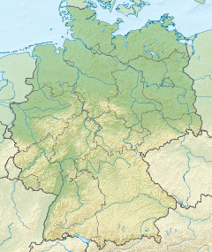
The Abens is a river in Bavaria, Germany, and a right-bank tributary of the Danube. Its source is near Au in der Hallertau. Some 71 kilometres (44 mi) long, it flows generally northward through the small towns of Au in der Hallertau, Rudelzhausen, Mainburg, Siegenburg, and Abensberg. It empties into the Danube at Eining, part of Neustadt an der Donau.
References
- ^ a b Complete table of the Bavarian Waterbody Register by the Bavarian State Office for the Environment (xls, 10.3 MB)

