Jump to content

Ankarvattnet

Coordinates: 64°52′0″N 14°13′0″E / 64.86667°N 14.21667°E / 64.86667; 14.21667
From Wikipedia, the free encyclopedia

This is an old revision of this page, as edited by 178.174.137.186 (talk) at 13:29, 14 August 2021 (Fixed depth after sonar). The present address (URL) is a permanent link to this revision, which may differ significantly from the current revision.

Ankarvattnet
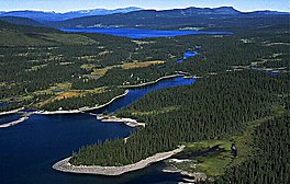
View over lakes including Ankarvattnet
Ankarvattnet (in the distance)
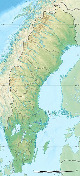
Location in Sweden
Location in Sweden
Ankarvattnet
LocationStrömsund (Jämtland)
Coordinates64°52′0″N 14°13′0″E / 64.86667°N 14.21667°E / 64.86667; 14.21667
Basin countriesSweden
Surface area9 km2 (3.5 sq mi)
Max. depth44 m (144 ft)
Surface elevation448 m (1,470 ft)

Ankarvattnet is a lake in Strömsund Municipality, Jämtland county, Sweden.

See also