Jump to content

Big Rous Holt

Coordinates: 53°10′12″N 0°9′45″W / 53.17000°N 0.16250°W / 53.17000; -0.16250
From Wikipedia, the free encyclopedia

This is an old revision of this page, as edited by BrownHairedGirl (talk | contribs) at 00:27, 21 April 2022 (add {{Use dmy dates}}). The present address (URL) is a permanent link to this revision, which may differ significantly from the current revision.

Little Rous Holt
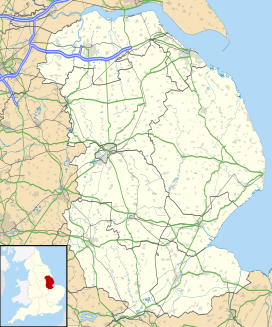
Map showing the location of Little Rous Holt
Geography
LocationLincolnshire, England
Coordinates53°10′12″N 0°9′45″W / 53.17000°N 0.16250°W / 53.17000; -0.16250

Big Rous Holt is a small woodland beside the B1191 (Horncastle Road) to the north east of the village of Woodhall Spa in Lincolnshire on Roughton Moor. To its south west is Little Rous Holt, and bordering it to the north east is Roughton Scrubs.