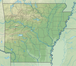
Hickory Creek (Buffalo Creek tributary)
Appearance
| Hickory Creek | |
|---|---|
| Location | |
| Country | United States |
| State | Arkansas |
| County | Polk County |
| Physical characteristics | |
| Source | |
| • location | Polk County, Arkansas, United States |
| • coordinates | 34°21′20″N 94°22′37″W / 34.35556°N 94.37694°W |
| Mouth | |
• location | Polk County, Arkansas, United States |
• coordinates | 34°23′50″N 94°27′32″W / 34.39722°N 94.45889°W |
• elevation | 869 ft (265 m) |
| Basin features | |
| Tributaries | |
| • left | Indian Creek |
| • right | Little Hickory Creek |
Hickory Creek is a tributary of Buffalo Creek in western Polk County, Arkansas, in the United States.[1] The stream headwaters arise adjacent to US Route 59 approximately 0.6 miles southwest of Vandervoort and it flows to the northwest for a linear distance of approximately six miles to its confluence with Buffalo Creek one third of a mile from the Arkansas-Oklahoma border.[1]
References
[edit]

