Portendick
Appearance
Portendick | |
|---|---|
| Coordinates: 18°35′N 16°7′W / 18.583°N 16.117°W | |
| Country | |
| Region | Trarza |
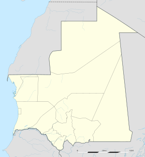
Portendick is an abandoned coastal city in western Mauritania.[1] It was located in the Ouad Naga Department of Trarza Region.
Founded by the Dutch in 1721 after the French capture of Arguin,[2] Portendick was a significant port for the gum arabic trade. It was the site of a major battle during the Char Bouba war between Arab Hassan and Berber Zawaya tribes.[3]
By the 19th century, however, trade from the port became unsustainable due to the area's arid, desert climate and lack of drinking water.[4] As of 1916, all that remained of the city was a small group of huts.[5]
References
- ^ Portendick at GEOnet Names Server
- ^ Barry, Boubacar (1972). Le royaume du Waalo: le Sénégal avant la conquête. Paris: Francois Maspero. p. 174.
- ^ Fage, J.D.; Gray, Richard; Oliver, Roland Anthony (2003). The Cambridge History of Africa, Volume 4. Cambridge University Press. p. 200. ISBN 0-521-20413-5.
- ^ Webb, James L. A. (1995). Desert Frontier: Ecological and Economic Change Along the Western Sahel, 1600-1850. University of Wisconsin Press. p. 227.
- ^ East Atlantic Pilot. United States Hydrographic Office. 1916.

