Stearns Canyon
Appearance
| Stearns Canyon | |
|---|---|
|
Top: A set of stairs in Stearns Canyon, Bottom: Loyal B. Stearns Memorial Fountain | |
| Geography | |
| Coordinates | 45°31′25.6″N 122°42′3.8″W / 45.523778°N 122.701056°W |
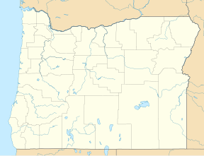
Stearns Canyon is a small canyon located in Portland, Oregon, primarily within Washington Park. It cuts its way south through the Tualatin Mountains from Burnside Street, approximately 1 mile south into the park.
The canyon used to belong to Amos King, who sold 40 acres of his property, including the canyon, to the City of Portland 1871 for the use of a public park, now called Washington Park.[1]


Stearns Canyon is named for Oregon judge and State Representative Loyal B. Stearns and the Loyal B. Stearns Memorial Fountain is located at the northern mouth of the canyon. The canyon is also home to multiple hiking trails and the Himalayan Cloud Forest Garden.[2][3]
See also
References
- ^ "Stearns Canyon". Explore Washington Park. Retrieved 2023-08-31.
- ^ "Stearns Canyon Drive Hiking Trail, Portland, Oregon". Hiking Project. Retrieved 2023-08-31.
- ^ Smith, Alicia (2022-12-06). "5 Trails Near the Arlington Heights Neighborhood: Hike Wildwood Trail, Hoyt Arboretum & Bristlecone". PortlandRealEstate.com. Retrieved 2023-08-31.


