Dedisse Park
Appearance
Dedisse Park | |
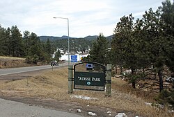
 The park in 2014. | |
| Location | Evergreen, Colorado |
|---|---|
| Coordinates | 39°38′03″N 105°20′00″W / 39.63417°N 105.33333°W |
| Area | 420 acres (1.7 km2) |
| Built | 1927 |
| Architectural style | Rustic |
| MPS | Denver Mountain Parks MPS |
| NRHP reference No. | 90001709 |
| Added to NRHP | 1990-11-15 |
Dedisse Park is a Denver Mountain Park located in Jefferson County, Colorado, USA. It was originally the scenic mountain ranch of 1860s pioneer Julius C. Dedisse; this 420 acres (1.7 km2) of land was purchased by the City & County of Denver in 1919. In 1927-28 Denver constructed the 35-foot (11 m) high Evergreen Dam as a flood control measure on the notoriously flood-prone Bear Creek, creating the 55-acre (220,000 m2) Evergreen Lake which became an instant hit with recreationists in summer and winter. Colorado's first mountain golf course, the Evergreen Golf Course, was constructed here in 1925, which features the rustic lodge Keys on the Green restaurant.


