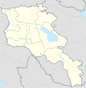
Tanahat Monastery
| Tanahat | |
|---|---|
 | |
| Religion | |
| Affiliation | Armenian Apostolic Church |
| Location | |
| Location | Vernashen, Vayots Dzor Province, Armenia |
| Geographic coordinates | 39°46′50″N 45°23′57″E / 39.78048°N 45.39910°E |
| Architecture | |
| Style | Armenian |
| Completed | 8th-13th century |
Tanahat Monastery (Armenian: Թանահատի վանք), is an 8th-century monastery located 7 km south-east of Vernashen village in the Vayots Dzor Province of Armenia. It was built between the 8th and 13th centuries.[1][2][3]
References
External links
Wikimedia Commons has media related to Tanahat.

