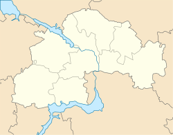
Pokrovske, Synelnykove Raion, Dnipropetrovsk Oblast
Pokrovske
Покровське | |
|---|---|
 Pokrovske District State Administration | |
| Coordinates: 47°58′57″N 36°14′02″E / 47.98250°N 36.23389°E | |
| Country | Ukraine |
| Oblast | Dnipropetrovsk Oblast |
| Raion | Pokrovske Raion |
| Founded | 1779 (245 years ago) |
| Urban-type settlement Status | 1957 |
| Area | |
| • Total | 9 km2 (3 sq mi) |
| Elevation | 110 m (360 ft) |
| Population (2014) | |
| • Total | 10,187 |
| Area code | +380 5638 |
Pokrovske (Ukrainian: Покро́вське) is an urban-type settlement in Dnipropetrovsk Oblast (province) of east-central Ukraine. It serves as the administrative center of Pokrovske Raion. Population: 10,264 (2013 est.)[1].
Pokrovske was first mentioned in historical documents in 1779. The settlement of Pokrovske got status of urban-type settlement in 1957.
References
- ^ Чисельність наявного населення України [Actual population of Ukraine] (in Ukrainian). State Statistics Service of Ukraine. Archived from the original on 2014-02-02. Retrieved 21 January 2015.
External links
- The murder of the Jews of Pokrovske during World War II, at Yad Vashem website.


