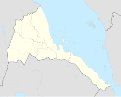
Chibabo, Eritrea
Appearance
Chibabo
كيبابو | |
|---|---|
Village | |
| Coordinates: 15°17′N 37°37′E / 15.283°N 37.617°E | |
| Country | |
| Region | Gash-Barka |
| District | Mogolo |
| Elevation | 710 m (2,330 ft) |
Chibabo (Arabic: كيبابو) is a village in western Eritrea. It is located in Mogolo Subregion in the Gash-Barka region.
Nearby towns and villages include Aredda (1.4 nm), the district capital Mogolo (2.3 nm), Attai (4.4 nm), Aula (7.6 nm) and Samero (7.6 nm).

