Geesteren, Overijssel
Appearance
52°25′N 6°44′E / 52.417°N 6.733°E
Geesteren | |
|---|---|
 | |
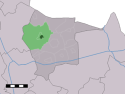
 The village centre (dark green) and the statistical district (light green) of Geesteren in the municipality of Tubbergen. | |
| Country | Netherlands |
| Province | Overijssel |
| Municipality | Tubbergen |
| Population (1 januari 2007) | 4,288 |
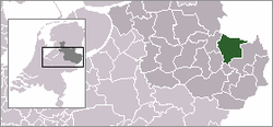
Geesteren is a village in the eastern Netherlands. It is located in the municipality of Tubbergen, Overijssel about 9 km northeast of Almelo.
In 2007 Geesteren had 4288 inhabitants. The built-up area of the village was 0.50 km² and contained 737 residences.[1] The statistical area "Geesteren", including the peripheral parts of the village and the surrounding countryside, had a population of around 4230.[2]
References
- ^ Gemeente Tubbergen, Leeftijdsopbouw per dorp per 1 January 2007 Archived June 9, 2011, at the Wayback Machine.
- ^ Statistics Netherlands (CBS), Statline: Kerncijfers wijken en buurten 2003-2005 Archived 2006-07-24 at WebCite. As of 1 January 2005.
