Jump to content

Oued Rkel

Coordinates: 33°49′38″N 5°55′44″W / 33.8272°N 5.9289°W / 33.8272; -5.9289
From Wikipedia, the free encyclopedia

This is an old revision of this page, as edited by Darwinek (talk | contribs) at 22:24, 20 March 2018 (→‎References). The present address (URL) is a permanent link to this revision, which may differ significantly from the current revision.

Oued Rkel or Oued El Kell is a wadi located in Fès-Meknès, Morocco.[1] It is a tributary of the Baht River.

References

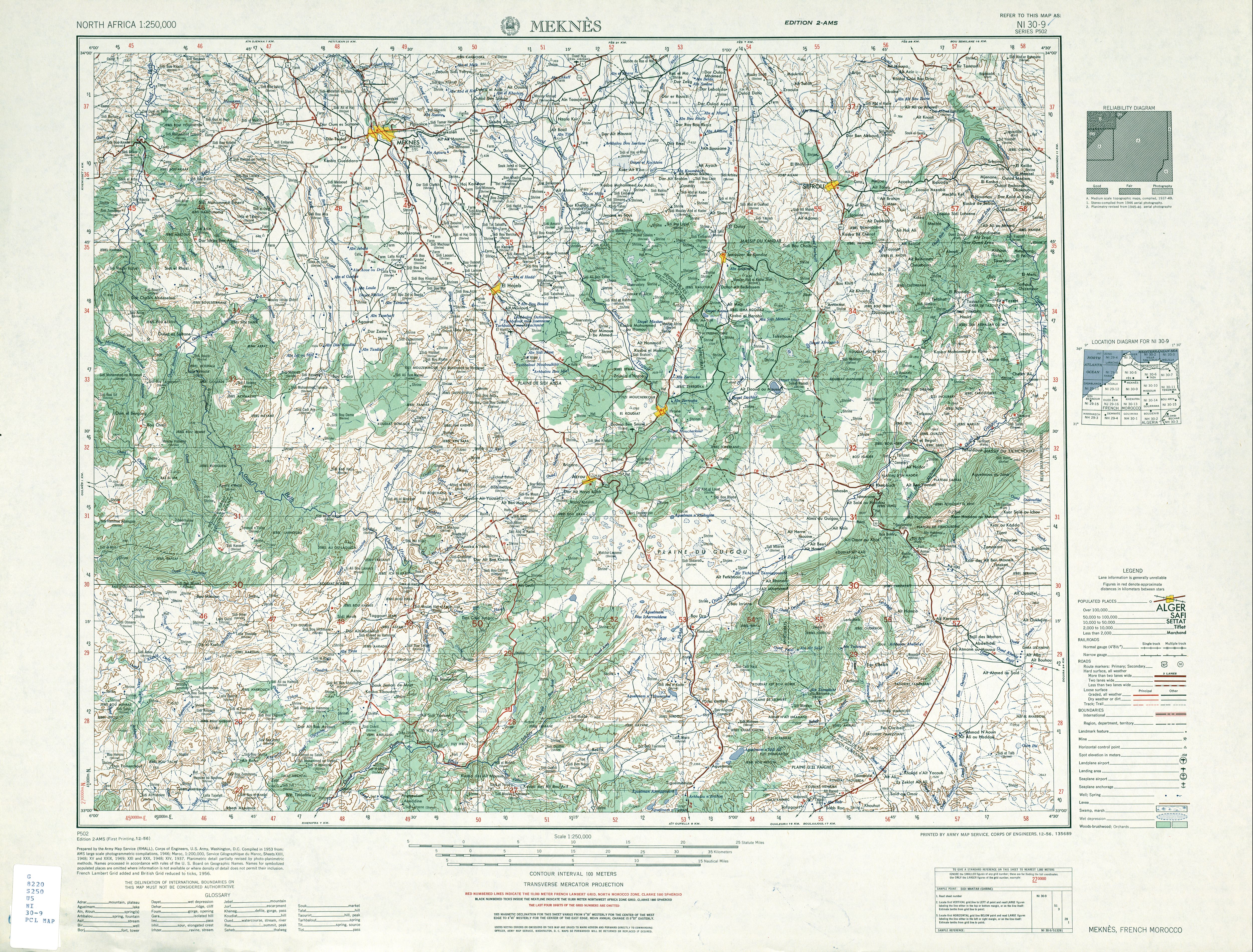
  1. ^ NI 30-9: Meknès, French Morocco (Map). 1:250,000. Series P502. U.S. Army Map Service. December 1956.

33°49′38″N 5°55′44″W / 33.8272°N 5.9289°W / 33.8272; -5.9289