
Wiesenthal
Wiesenthal | |
|---|---|
Location of Wiesenthal within Wartburgkreis district 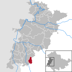 | |
 Wiesenthal  Wiesenthal | |
| Coordinates: 50°42′0″N 10°10′0″E / 50.70000°N 10.16667°E | |
| Country | Germany |
| State | Thuringia |
| District | Wartburgkreis |
| Area | |
| • Total | 13.57 km2 (5.24 sq mi) |
| Elevation | 380 m (1,250 ft) |
| Population (2022-12-31)[1] | |
| • Total | 731 |
| • Density | 54/km2 (140/sq mi) |
| Time zone | UTC+01:00 (CET) |
| • Summer (DST) | UTC+02:00 (CEST) |
| Postal codes | 36466 |
| Dialling codes | 036964 |
| Vehicle registration | WAK |
| Website | www.wiesenthal.info |
Wiesenthal (German for "meadow valley") is a municipality in the Wartburgkreis district of Thuringia, Germany.

References
| International | |
|---|---|
| National | |
This Wartburgkreis location article is a stub. You can help Wikipedia by expanding it. |