Carrasco Bonito
Appearance
Carrasco Bonito | |
|---|---|
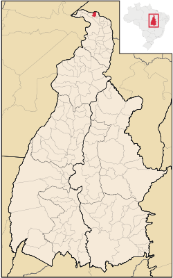
 Location in Tocantins state | |
| Coordinates: 5°19′19″S 48°2′6″W / 5.32194°S 48.03500°W | |
| Country | Brazil |
| Region | North |
| State | Tocantins |
| Area | |
| • Total | 193 km2 (75 sq mi) |
| Population (2015) | |
| • Total | 3,983 |
| • Density | 21/km2 (53/sq mi) |
| Time zone | UTC-03:00 (BRT) |
Carrasco Bonito is a municipality in the Brazilian state of Tocantins. Carrasco Bonito's population was at 3,983 in 2015 and it has an area of 193 km².[1]
The municipality contains 94% of the 9,280 hectares (22,900 acres) Extremo Norte do Tocantins Extractive Reserve, created in 1992.[2]
References
- ^ IBGE - [1]
- ^ RESEX do Extremo Norte do Tocantins (in Portuguese), ISA: Instituto Socioambiental, retrieved 2016-08-31


