Taney Seamounts
Appearance
| Taney Seamounts | |
|---|---|
| Highest point | |
| Coordinates | 36°41′18″N 125°20′15″W / 36.6882°N 125.3375°W [1] |
| Dimensions | |
| Volume | 11 km3 (3 cu mi) to 187 km3 (45 cu mi) in volume[2] |
| Geography | |
| Location | Pacific Ocean, west of San Francisco |
| Peaks | Five seamounts (underwater volcanoes) |
| Geology | |
| Rock age | ~26 million years[2] |
| Mountain type | Volcanic chain |
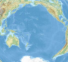
The Taney Seamounts are a range of five extinct underwater volcanoes located 300 kilometres (160 nmi; 190 mi) west of San Francisco on the Pacific Plate.[2] The seamounts were identified during the United States Geological Survey's scan of the Exclusive Economic Zone,[3] conducted in the 1980s with the GLORIA sidescan sonar.[4]
References
- ^ [1]
- ^ a b c "Mapping Program: Taney Seamounts". Monterey Bay Aquarium Research Institute. Feb 6, 2009. Archived from the original on 12 December 2010. Retrieved 29 December 2009.
- ^ Petersen, J.K. (2007). Understanding Surveillance Technologies: Spy Devices, Privacy, History, & Applications, Revised and Expanded Second Edition. CRC Press. p. 228. ISBN 978-0-8493-8320-5.
- ^ "U.S. Exclusive Economic Zone (EEZ) GLORIA Mapping Program". US Geological Survey. Retrieved 6 November 2010.

