Summerton Bog
Appearance
| Summerton Bog | |
|---|---|
 Summerton Bog, June 2010 | |
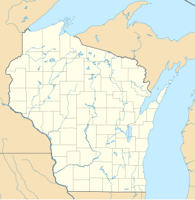
Map of Wisconsin | |
| Location | Marquette County, Wisconsin |
| Coordinates | 43°45′03″N 89°31′23″W / 43.75089°N 89.523°W[1] |
| Area | 451 acres (183 ha) |
| Established | 1966 |
| Governing body | The Nature Conservancy |
| www | |
| Designated | 1973 |
Summerton Bog is a bog in Marquette County, Wisconsin. The bog provides a habitat for several rare species of plantlife and wildlife.[2] It is owned by The Nature Conservancy and contains 428 acres (173 ha).[3] The bog was designated a Wisconsin State Natural Area in 1966 and a National Natural Landmark in 1973.
References
- ^ "Summerton Bog Map" (PDF). nature.org. The Nature Conservancy. 2009. Retrieved 2012-03-12.
- ^ "Summerton Bog". National Park Service. Retrieved 2012-01-19.
- ^ "Summerton Bog (No. 42)". Wisconsin Department of Natural Resources. Retrieved 2016-04-23.
External links
- Summerton Bog Official website

