
Montbartier
Montbartier | |
|---|---|
 The town hall of Montbartier | |
.svg) Coat of arms | |
Location of Montbartier  | |
 Montbartier  Montbartier | |
| Coordinates: 43°54′49″N 1°16′24″E / 43.9136°N 1.2733°E | |
| Country | France |
| Region | Occitania |
| Department | Tarn-et-Garonne |
| Arrondissement | Montauban |
| Canton | Montech |
| Intercommunality | Garonne et Canal |
| Government | |
| • Mayor (2014–2020) | Jean-Claude Raynal |
| Area 1 | 15.01 km2 (5.80 sq mi) |
| Population (2021)[1] | 1,643 |
| • Density | 110/km2 (280/sq mi) |
| Time zone | UTC+01:00 (CET) |
| • Summer (DST) | UTC+02:00 (CEST) |
| INSEE/Postal code | 82123 /82700 |
| Elevation | 99–141 m (325–463 ft) (avg. 113 m or 371 ft) |
| 1 French Land Register data, which excludes lakes, ponds, glaciers > 1 km2 (0.386 sq mi or 247 acres) and river estuaries. | |
Montbartier is a commune in the Tarn-et-Garonne department in the Occitanie region in southern France.
Monument
-
 The church
 -
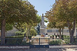 War memorial
 -
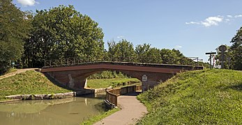 Bridge over the Canal Lateral à la Garonne, north exposure


See also
References
- ^ "Populations légales 2021". The National Institute of Statistics and Economic Studies. 28 December 2023.
Wikimedia Commons has media related to Montbartier.
| Authority control databases: National |
|---|
This Tarn-et-Garonne geographical article is a stub. You can help Wikipedia by expanding it. |