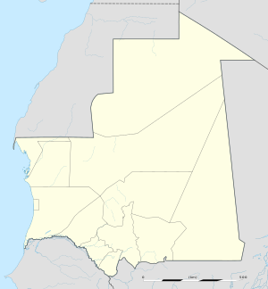
Chegga
Appearance
Chegga | |
|---|---|
| Coordinates: 25°22′23.89″N 5°47′14.12″W / 25.3733028°N 5.7872556°W | |
| Country | Mauritania |
| Region | Tiris Zemmour |
| Elevation | 400 m (1,200 ft) |
Chegga is a small settlement in the very northeastern part of Mauritania, close to the borders with Algeria and Mali. It consists of a military fort. It has been a caravan stop for centuries. There are neolithic rock carvings in the oued 500 meters away from the fort.[1][2]
References
- ^ "de Vries". Retrieved 2 December 2018. Hein and Wil de Vries' travel report
- ^ Puigaudeau, Odette du; Sénones, Marion (1939). "Gravures rupestres du Hank (Sahara Marocain)". Bulletin de la Société Préhistorique de France (in French). 36 (11). JSTOR 27912955.

