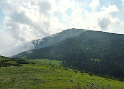
Oravské Beskydy

The Orava Beskids (Slovak: Oravské Beskydy, Hungarian: Árvai-Beszkidek) is a range of mountains straddling the northern-Slovakia-southern-Poland border, considered part of the Central Beskids, within the Outer Western Carpathians.
The highest mountain of the range is Babia Góra (1,725 metres), the center of the Babia Góra National Park, one of the first biosphere reserves established worldwide.
Wikimedia Commons has media related to Oravské Beskydy.
