Nanpantan
| Nanpantan | |
|---|---|
Location within Leicestershire | |
| District | |
| Shire county | |
| Region | |
| Country | England |
| Sovereign state | United Kingdom |
| Post town | LOUGHBOROUGH |
| Postcode district | LE11 |
| Police | Leicestershire |
| Fire | Leicestershire |
| Ambulance | East Midlands |
| UK Parliament | |

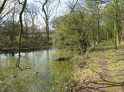
Nanpantan is a small village in the Charnwood borough of Leicestershire, England.[1] It is located in the south-west of the town of Loughborough, but the village is slightly separated from the main built-up area of Loughborough. It is also the site of the Nanpantan Reservoir.
The first edge rails used in a wagonway were on the Charnwood Forest Canal, in the section between Nanpantan and Loughborough.
Inside Nanpantan is a gastropub called The Priory. There is a small church here: Saint Mary in Charnwood, which was originally built as a mission room by the owner of Nanpantan Hall in 1888. After some years as a chapel of ease to the ecclesiastical parish of Emmanuel, Loughborough, Saint Mary in Charnwood became a parish in its own right, on 1 January 2015.[2]
References
- ^ Ordnance Survey: Landranger map sheet 129 Nottingham & Loughborough (Melton Mowbray) (Map). Ordnance Survey. 2014. ISBN 9780319231623.
- ^ "A Brief History | St. Mary in Charnwood".
External links
52°45′2.75″N 1°15′12.00″W / 52.7507639°N 1.2533333°W

