Manyueyuan National Forest Recreation Area
Appearance
| Manyueyuan National Forest Recreation Area Chinese: 滿月圓國家森林遊樂區 | |
|---|---|
 | |
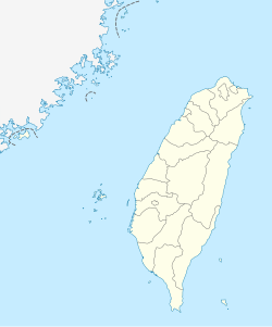
| Map | |
| Geography | |
| Location | Sanxia, New Taipei, Taiwan |
| Coordinates | 24°49′49.7″N 121°26′40.9″E / 24.830472°N 121.444694°E |
| Elevation | 300-1,700 meters |
| Area | 637 hectares |
Manyueyuan National Forest Recreation Area (Chinese: 滿月圓國家森林遊樂區; pinyin: Mǎnyuèyuán Guójiā Sēnlín Yóulè Qū) is a forest located in Sanxia District, New Taipei, Taiwan.
Geology
The forest spans over an area of 637 hectares at an elevation of 300–1,700 meters with an annual mean temperature of 19.9°C.[1] The northern part of the forest borders with Mount Beichatian (Chinese: 北插天山).
Facilities
The forest consists of walking trail connected to Dongyanshan Forest Recreation Area (Chinese: 東眼山森林遊樂區) with an elevation of 1,727 meters. It has campsites at the base of Mount Beichatian.[2] The total of the forest walking trail is 1,210 meters.[3]
Transportation
The forest is accessible by bus or taxi from Yingge Station of Taiwan Railways.[2]
See also
References
- ^ "Manyueyuan Forest Recreation Area". Forestry Bureau, Council of Agriculture, Executive Yuan. Retrieved 29 August 2019.
- ^ a b "Manyueyuan Forest Recreation Area". Lonely Planet. Retrieved 29 August 2019.
- ^ "Manyueyuan National Forest Recreation Area". Taiwan, the Heart of Asia. Retrieved 29 August 2019.
Wikimedia Commons has media related to Manyueyuan National Forest Recreation Area.

