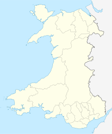
Cwm Dewi
| Site of Special Scientific Interest | |
 The Cwm in January 2005 | |
| Location | Pembrokeshire |
|---|---|
| Grid reference | SN0074739845 |
| Coordinates | 52°01′16″N 4°54′20″W / 52.021148°N 4.90542°W |
| Interest | Geological |
| Area | 22.02 ha |
| Notification | 2010 |
Cwm Dewi is a Site of Special Scientific Interest (or SSSI) in Pembrokeshire, South Wales. It has been designated as a Site of Special Scientific Interest since January 2010 in an attempt to protect its important geological elements.[1] The site has an area of 22.02 hectares and is managed by Natural Resources Wales.
Type
This site is designated due to its geological qualities: a spectacular landform created during the Ice Age.
Cwm Dewi SSSI is one of the most important sites in Britain where Quaternary landforms and deposits can be studied. The valley which separates Dinas Island from the adjacent plateau was formed by the meltwater produced when an ice sheet which covered north Pembrokeshire thawed.
See also
References
- ^ Countryside Council for Wales website (Natural Resources Wales since 2013); Archived January 1, 2014, at the Wayback Machine accessdate: 30 December 2013

