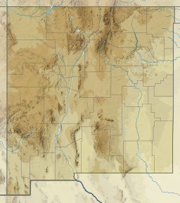
Lake Maloya
| Lake Maloya | |
|---|---|
 Lake Maloya in 2018. | |
| Location | Colfax County, New Mexico and Las Animas County, Colorado |
| Coordinates | 36°59′01″N 104°22′26″W / 36.98361°N 104.37389°W |
| Type | reservoir |
Lake Maloya is a reservoir in Sugarite Canyon State Park on the New Mexico-Colorado State border, northeast of Raton, New Mexico. It is the main source of water for the city and its outlying areas.[1] When full, the lake's surface has an elevation of 7,516 feet (2,291 meters).[2]
References
- ^ "Lake Maloya". sangres.com. Retrieved May 16, 2011.
- ^ "Lake Maloya". Geographic Names Information System. United States Geological Survey, United States Department of the Interior.

