La Punt Chamues-ch railway station
Appearance
La Punt-Chamues-ch | |||||
|---|---|---|---|---|---|
 | |||||
| General information | |||||
| Location | 7522 La Punt-Chamues-ch Maloja, Graubünden Switzerland | ||||
| Coordinates | 46°34′43″N 9°55′24″E / 46.57861°N 9.92333°E | ||||
| Elevation | 1,697 m (5,568 ft) | ||||
| Owned by | Rhaetian Railway | ||||
| Operated by | Rhaetian Railway | ||||
| Line(s) | Bever–Scuol-Tarasp | ||||
| Distance | 99.99 km (62.13 mi) from Thusis | ||||
| History | |||||
| Opened | 28 June 1913 | ||||
| |||||
| |||||
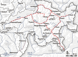
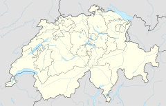
La Punt-Chamues-ch is a railway station on the Engadin line (Bever–Scuol-Tarasp railway) in the Engadin valley of the eastern Swiss Alps in southeastern Switzerland, serving the municipality of La Punt-Chamues-ch. Hourly services operate on this line.
Rhaetian Railway services
- R7 – 1tph[1]
| Preceding station | Rhatische Bahn | Following station | ||
|---|---|---|---|---|
toward Template:RhB stations | Template:RhB lines | toward Template:RhB stations |
References
External links


