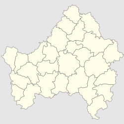
Krasnaya Gora, Krasnogorsky District, Bryansk Oblast
Krasnaya Gora
Красная Гора | |
|---|---|
| Coordinates: 53°00′00″N 31°36′00″E / 53.00000°N 31.60000°E | |
| Country | Russia |
| Federal subject | Bryansk Oblast |
| First mentioned | 1168 |
| Town status since | 1986 |
| Population | |
• Total | 5,906 |
| • Capital of | Town of oblast significance of Borisovka, Rognedinsky District< |
| • Municipal district | Rognedinsky Municipal District |
| • Urban settlement | Rognedinsky Urban Settlement |
| • Capital of | Rognedinsky Municipal District, Krasnogorsky Urban Settlement |
| Time zone | UTC+3 (MSK |
| Postal code(s)[3] | 242770 |
| Dialing code(s) | +7 48331 |
| OKTMO ID | 15634151051 |
Krasnaya Gora (Template:Lang-ru) is an urban-type settlement in Bryansk Oblast, Russia. It is the administrative center of Krasnogorsky District.
History
First mentioned in 1387 as a guard settlement. Listed in the chronicle "List of Russian cities far and near". In 1648 Popov Gora hosted a fight between Cossacks of Bohdan Khmelnytsky and six thousandth detachment of Polish Hetman Vishnevetzky.
In the past century, Popova Gora was sotnia center Popogorskoy hundreds and parish center Popovogorskoy parish. Since 1929 - the regional center. Since 1968 it is settlement of urban type.
Ecological problems
As a result of the Chernobyl disaster on April 26, 1986, part of the territory of Bryansk Oblast has been contaminated with radionuclides (mainly Gordeyevsky, Klimovsky, Klintsovsky, Krasnogorsky, Surazhsky, and Novozybkovsky Districts). In 1999, some 226,000 people lived in areas with the contamination level above 5 Curie/km2, representing approximately 16% of the oblast's population.
References
- ^ Russian Federal State Statistics Service (2011). Всероссийская перепись населения 2010 года. Том 1 [2010 All-Russian Population Census, vol. 1]. Всероссийская перепись населения 2010 года [2010 All-Russia Population Census] (in Russian). Federal State Statistics Service.
- ^ "Об исчислении времени". Официальный интернет-портал правовой информации (in Russian). 3 June 2011. Retrieved 19 January 2019.
- ^ Почта России. Информационно-вычислительный центр ОАСУ РПО. (Russian Post). Поиск объектов почтовой связи (Postal Objects Search) (in Russian)


