Gabu (town)
Appearance
Gabu
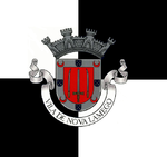
Gabu Nova Lamego | |
|---|---|
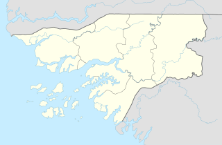
 Gabu, Guinea-Bissau | |
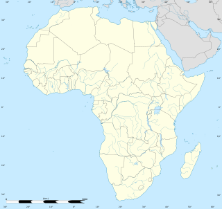
| Coordinates: 12°17′0″N 14°13′0″W / 12.28333°N 14.21667°W | |
| Country | |
| Region | Gabu Region |
| Elevation | 39 m (128 ft) |
| Population (2010) | |
• Total | 37,525 |
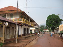
Gabu is the largest town in eastern Guinea-Bissau and capital of the Gabu Region.
The town is known for its Fula population and dominant Muslim religion. It was originally the centre of the Kaabu empire until the Fouta Djallon came to dominate it in the nineteenth century. Gabu is also known as a market town and a centre for trade with Guinea and Senegal. After the independence of Guinea-Bissau, the city acquired its actual name, replacing the old one, "Nova Lamego".
Climate
Gabú has a tropical savanna climate (Aw) with little to no rainfall from November to May and heavy to very heavy rainfall from June to October.
| Climate data for Gabú | |||||||||||||
|---|---|---|---|---|---|---|---|---|---|---|---|---|---|
| Month | Jan | Feb | Mar | Apr | May | Jun | Jul | Aug | Sep | Oct | Nov | Dec | Year |
| Mean daily maximum °C (°F) | 31.7 (89.1) |
34.4 (93.9) |
37.1 (98.8) |
38.0 (100.4) |
36.4 (97.5) |
33.1 (91.6) |
30.2 (86.4) |
29.2 (84.6) |
30.2 (86.4) |
31.2 (88.2) |
31.9 (89.4) |
30.5 (86.9) |
32.8 (91.1) |
| Daily mean °C (°F) | 22.8 (73.0) |
25.4 (77.7) |
28.4 (83.1) |
30.0 (86.0) |
29.6 (85.3) |
27.6 (81.7) |
26.1 (79.0) |
25.4 (77.7) |
25.9 (78.6) |
26.3 (79.3) |
25.7 (78.3) |
22.7 (72.9) |
26.3 (79.4) |
| Mean daily minimum °C (°F) | 13.9 (57.0) |
16.5 (61.7) |
19.8 (67.6) |
22.0 (71.6) |
22.9 (73.2) |
22.1 (71.8) |
22.0 (71.6) |
21.7 (71.1) |
21.7 (71.1) |
21.4 (70.5) |
19.6 (67.3) |
15.0 (59.0) |
19.9 (67.8) |
| Average rainfall mm (inches) | 0 (0) |
0 (0) |
0 (0) |
3 (0.1) |
37 (1.5) |
159 (6.3) |
273 (10.7) |
420 (16.5) |
350 (13.8) |
180 (7.1) |
20 (0.8) |
2 (0.1) |
1,444 (56.9) |
| Source: Climate-Data.org[1] | |||||||||||||
12°17′N 14°13′W / 12.283°N 14.217°W
References
- ^ "Climate: Gabú". Climate-Data.org. Retrieved August 6, 2020.


