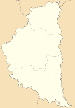
Sydoriv
Appearance
Sydoriv
Сидорів | |
|---|---|
Village | |
 | |
| Coordinates: 49°00′46″N 26°10′01″E / 49.01278°N 26.16694°E | |
| Country | |
| Province | |
| District | Husiatyn Raion |
| Established | 1380 |
| Population | |
| • Total | 1,125 |
| Time zone | UTC+2 (EET) |
| • Summer (DST) | UTC+3 (EEST) |
| Postal code | 48208 |
| Area code | +380 3557 |


Sydoriv (Ukrainian: Сидорів) is a village located on the right bank of the Zbruch River in the Husiatyn Raion (district) of the Ternopil Oblast (province in western Ukraine). It is known primarily as the location of the Sydoriv Castle.
Source
- (in Ukrainian) І. Гадиняк, Б. Хаварівський, Сидорів // Ternopil Encyclopedic Dictionary: in 4 v. / editorial board: H. Yavorskyi and other, Ternopil: "Zbruch", 2008, V. 3: П—Я, S. 254. — ISBN 978-966-528-279-2.
External links
- "Sidorów". Geographical Dictionary of the Kingdom of Poland (in Polish). 10. Warszawa: Kasa im. Józefa Mianowskiego. 1889. p. 480.

