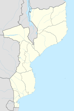
Mabalane
Appearance
Mabalane | |
|---|---|
| Coordinates: 23°38′0″S 32°31′0″E / 23.63333°S 32.51667°E | |
| Country | |
| Provinces | Maputo Province |
| District | Moamba District |
Mabalane is a town in Mozambique located on the Limpopo River. There was a prison camp and garrison at Mabalane during the revolution.
Mabalane was affected by the floods that affected Mabalane District in February 1996. The flooding of the Limpopo saw the town and 12 villages partly submerged causing serious damage.[1]
Transport
[edit]It is served by a station on the southern main line of Mozambique Railways.
See also
[edit]References
[edit]- ^ Christie, Frances; Hanlon, Joseph (2001). Mozambique & the Great Flood of 2000. Indiana University Press. pp. 176. ISBN 0-253-33978-2. Retrieved 2008-06-15.
mabalane mozambique.

