
Voise (river)
| Voise | |
|---|---|
 | |
| Location | |
| Country | France |
| Physical characteristics | |
| Mouth | Eure |
• coordinates | 48°36′01″N 1°34′00″E / 48.6002°N 1.5668°E |
| Length | 33.0 km (20.5 mi) |
| Basin features | |
| Progression | Eure→ Seine→ English Channel |
The Voise is a river in Eure-et-Loir which flows into the right bank of Eure, and then on to the Seine.[1] It is 33.0 km (20.5 mi) long.[2]
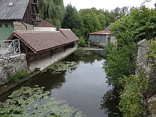
Gallery
- La Voise, from upstream to downstream
-

-

-


References
This Eure-et-Loir geographical article is a stub. You can help Wikipedia by expanding it. |