Montello River
Appearance
| Montello River | |
|---|---|
| Location | |
| Country | United States |
| State | Wisconsin |
| Physical characteristics | |
| Source | Near Harrisville |
| • coordinates | 43°52′38″N 89°24′05″W / 43.877324°N 89.401393°W |
| • elevation | 820 ft (250 m) |
| Mouth | Fox River |
• coordinates | 43°47′14″N 89°19′26″W / 43.7872012°N 89.3240081°W |
| Basin features | |
| Tributaries | |
| • left | Klawitter Creek |
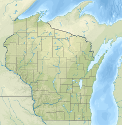
The Montello River is a river in central Wisconsin that is a tributary to the Fox River.[1] It starts near Harrisville and flows through Montello. The river is dammed there, where it forms 341-acre (1.38 km2) Lake Montello.[2]
References[edit]
- ^ "Report for Montello River". USGNIS. U.S. Department of the Interior. Retrieved 6 October 2020.
- ^ "Lake Montello". Wisconsin DNR. Retrieved 6 October 2020.


