Lägh dal Lunghin
Appearance
| Lägh dal Lunghin | |
|---|---|
| Location | Engadin, Grisons |
| Coordinates | 46°25′08″N 9°40′32″E / 46.41889°N 9.67556°E |
| Basin countries | Switzerland |
| Average depth | 9.2 m (30 ft) |
| Surface elevation | 2,484 m (8,150 ft) |
| Frozen | November - July (ice) |
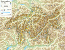
Lägh dal Lunghin (German: Lunghinsee) is a lake at an elevation of 2484 m, below the peak of Piz Lunghin, in the Graubünden, Switzerland. It is considered the source of the Inn River.

See also

