Lake Alofivai
Appearance
| Lake Alofivai | |
|---|---|
| Lac Alofivai Error {{native name checker}}: parameter value is malformed (help) | |
| Location | Wallis, Wallis and Futuna |
| Coordinates | 13°15′42″S 176°10′17″W / 13.26167°S 176.17139°W |
| Type | Volcanic lake |
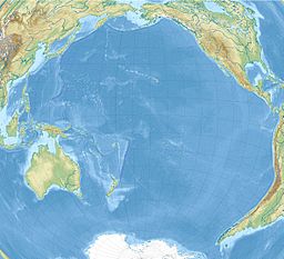
Lake Alofivai (Template:Lang-fr) is a lake on the northeastern side of Wallis (Uvea) in the Pacific. It is located off Route 1 (RT1) adjacent to the village of Alofivai.[1] The lake is reportedly "often dry, and the bottom of the crater then affords pasture for the cows of the nearby mission schools." [2] However, during wetter periods, the lake is populated with frogs.[3]
References
- ^ Maps (Map). Google Maps.
- ^ Great Britain. Naval Intelligence Division; James Wightman Davidson. Pacific Island: Western Pacific (Tonga to the Solomon Islands). Naval Intelligence Division. p. 280. Retrieved 29 April 2012.
- ^ Auckland Institute and Museum (1995). Records of the Auckland Institute and Museum. Auckland Institute and Museum. p. 59. Retrieved 29 April 2012.

