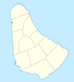
Church Village, Barbados
Appearance
Church Village | |
|---|---|
Village | |
 Saint Philip's Parish Church in an 1848 image by W. L. Walton | |
| Coordinates: 13°08′N 59°29′W / 13.133°N 59.483°W | |
| Country | Barbados |
| Parish | Saint Philip |
Church Village is a village in the parish of Saint Philip in Barbados.
Saint Philip's Parish Church is located in the village.[1][2] Indar Weir, Labour Party member and Minister for Agriculture and Food Security (as of October 2020) grew up in Church Village.[3]
References
[edit]- ^ "St Philip's Parish Church". www.anglican.bb. Archived from the original on 2019-11-13. Retrieved 2020-10-29.
- ^ "St. Philip's Parish Church Barbados, Church Village (2020)". www.localprayers.com. Archived from the original on 2020-10-30. Retrieved 2020-10-29.
- ^ Anesta, Henry (2020-07-21). "Resounding 'no' to wing imports". Barbados Today. Archived from the original on 2020-10-30. Retrieved 2020-10-29.
And you will ask me, a boy who grew up in Church Village that had to live through this same kind of struggle,

