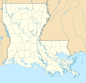
Fort Johnson-Vernon Wildlife Management Area
Appearance
| Fort Polk Wildlife Management Area | |
|---|---|
| Location | Vernon Parish, Louisiana |
| Coordinates | 31°7′15″N 93°10′4″W / 31.12083°N 93.16778°W |
| Area | 105,545 acres (427.13 km2) |
| Governing body | U.S. Army and U.S. Forest Service |
Fort Polk Wildlife Management Area is a 105,545-acre tract of protected area within the United States Army military reservation of Fort Polk, Louisiana. The WMA is located approximately ten miles southeast of Leesville, in Vernon Parish, east of U.S. Highway 171, one mile south of Louisiana Highway 28 and one mile north of Louisiana Highway 10.[1]
See also
List of Louisiana Wildlife Management Areas
References
- ^ Fort Polk Wildlife Management Area- Retrieved 2017-03-16

