Jump to content

Aredda

Coordinates: 15°16′N 37°36′E / 15.267°N 37.600°E / 15.267; 37.600
From Wikipedia, the free encyclopedia

This is the current revision of this page, as edited by Monkbot (talk | contribs) at 00:44, 28 November 2020 (Task 18 (cosmetic): eval 1 template: del empty params (1×); hyphenate params (1×);). The present address (URL) is a permanent link to this version.

(diff) ← Previous revision | Latest revision (diff) | Newer revision → (diff)
Aredda
أردا
Town
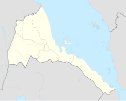
Aredda is located in Eritrea
Aredda
Aredda
Location in Eritrea
Coordinates: 15°16′N 37°36′E / 15.267°N 37.600°E / 15.267; 37.600
Country Eritrea
RegionGash-Barka
SubregionMogolo
Elevation
664 m (2,178 ft)

Aredda (Arabic: أردا) is a village in western Eritrea.[1]

Location

[edit]

The town is located in the subregion of the Gash-Barka region. It is situated 5.1 miles from Attai.

References

[edit]
  1. ^ "Aredda, Gash-Barka Region, Eritrea", Mindat.org, retrieved July 23, 2020