Waitākere Reservoir
Appearance
| Waitākere Reservoir | |
|---|---|
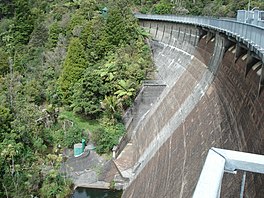
 Waitākere Dam from above | |
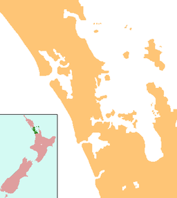
| Location | Waitakere, North Island |
| Coordinates | 36°54′08″S 174°31′31″E / 36.9023°S 174.5254°E |
| Type | Reservoir |
| Basin countries | New Zealand |
| Surface area | 25.1 ha (0.097 sq mi) |
| Water volume | 1,760,000 m3 (0.00042 cu mi) |

Waitākere Reservoir is a reservoir on the Waitakere River in the Waitākere Ranges, west of Auckland in New Zealand. Waitākere Dam was completed in 1910 and is a concrete gravity dam with a slight curvature.. It has a lake area of 25.1 hectares and a capacity of 1.76 million cubic metres.[1]
The dam is accessible from the Montana Heritage Trail, a bush hike in the region.[citation needed]
References
- ^ Waitākere Dam, Watercare, New Zealand.

