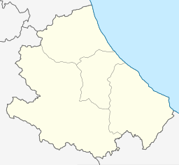
Lago di Bomba
Appearance
| Lago di Bomba | |
|---|---|
 Lago di Bomba nestled under Monteferrante | |
| Location | Province of Chieti, Abruzzo |
| Coordinates | 42°00′00″N 14°21′43″E / 42°N 14.362°E |
| Primary inflows | Sangro |
| Primary outflows | Sangro |
| Basin countries | Italy |
| Surface area | 10 km2 (3.9 sq mi) |
| Surface elevation | 262 m (860 ft) |
Lago di Bomba, also called Lago di Sangro, is a lake in the Province of Chieti, Abruzzo, Italy. At an elevation of 262 m, its surface area is 10 km². To the south of the lake is Villa Santa Maria and to the north of the lake is Bomba.[1]
References
- ^ The Times Comprehensive Atlas of the World (13 ed.). London: Times Books. 2011. p. 77 M4. ISBN 9780007419135.

